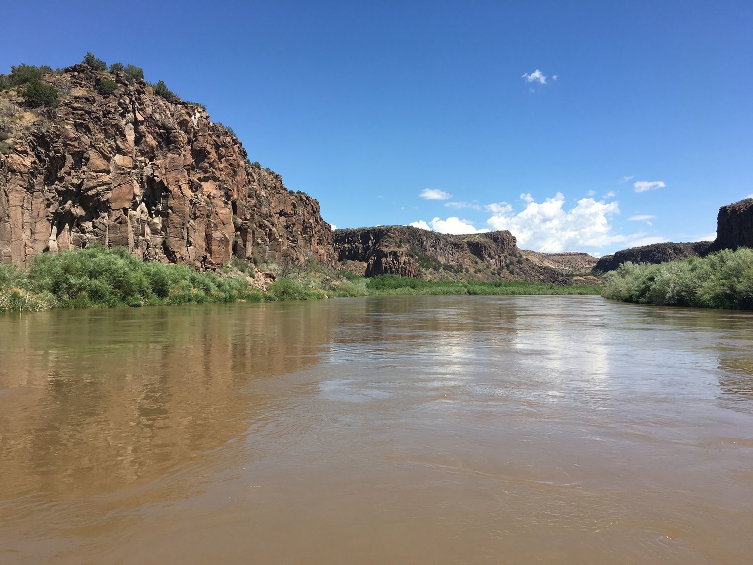
White Rock Canyon, New Mexico

Panorama of White Rock Canyon from about half way down the run.
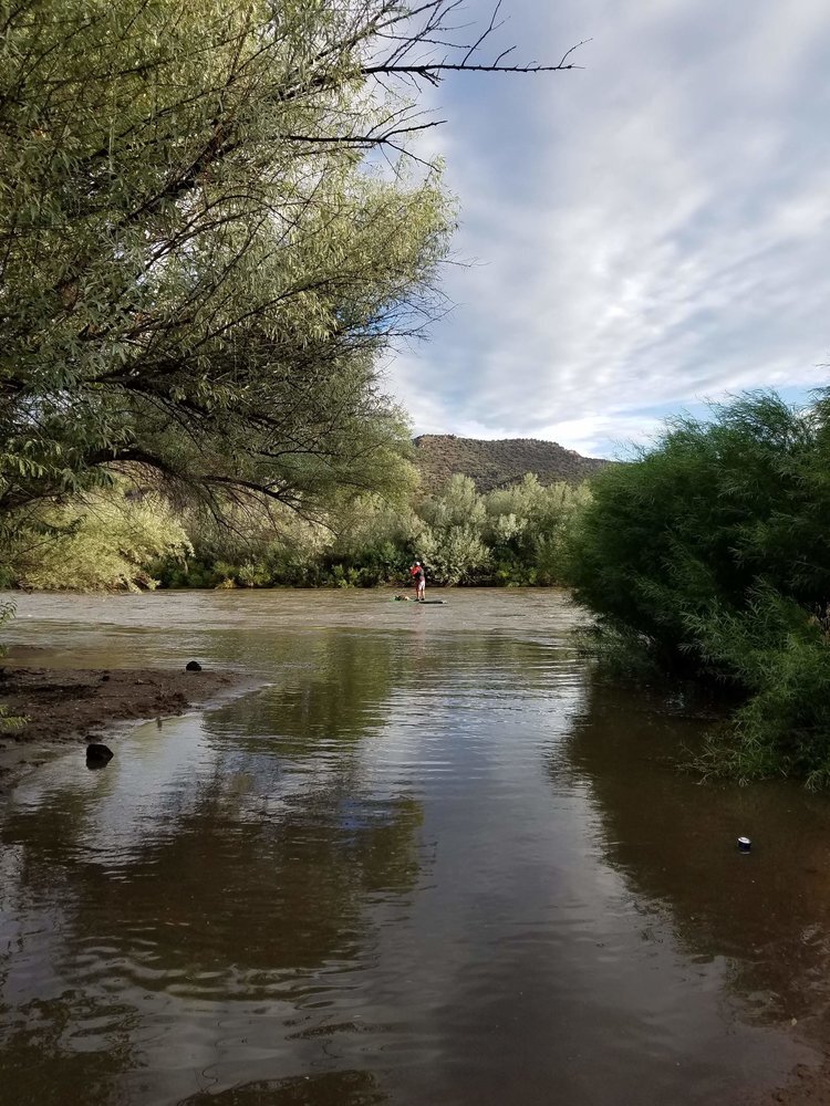
Standup Paddle Boarding can take you to a lot of fun places with a little bit of preparation. As the July 4th, weekend began to wind down I found that I had the time to explore down a stretch of the Rio Grande that seldom gets paddled. White Rock Canyon is a “Gorgeous Canyon filled with Geologic Wonders” which usually flows in early spring through summer. But given the prolonged snowmelt this year I was able to make the trip with an awesome amount of water.
The Trip
White Rock Canyon has a river rating of Class III-IV, which is based on the volume of water flowing through the canyon. The minimum recommended flow for small paddle craft is 600 cfs (cubic feet per second), and I was able to catch the flow between 3900-4400 cfs, this made some the rapids rather beefy and even more fun.
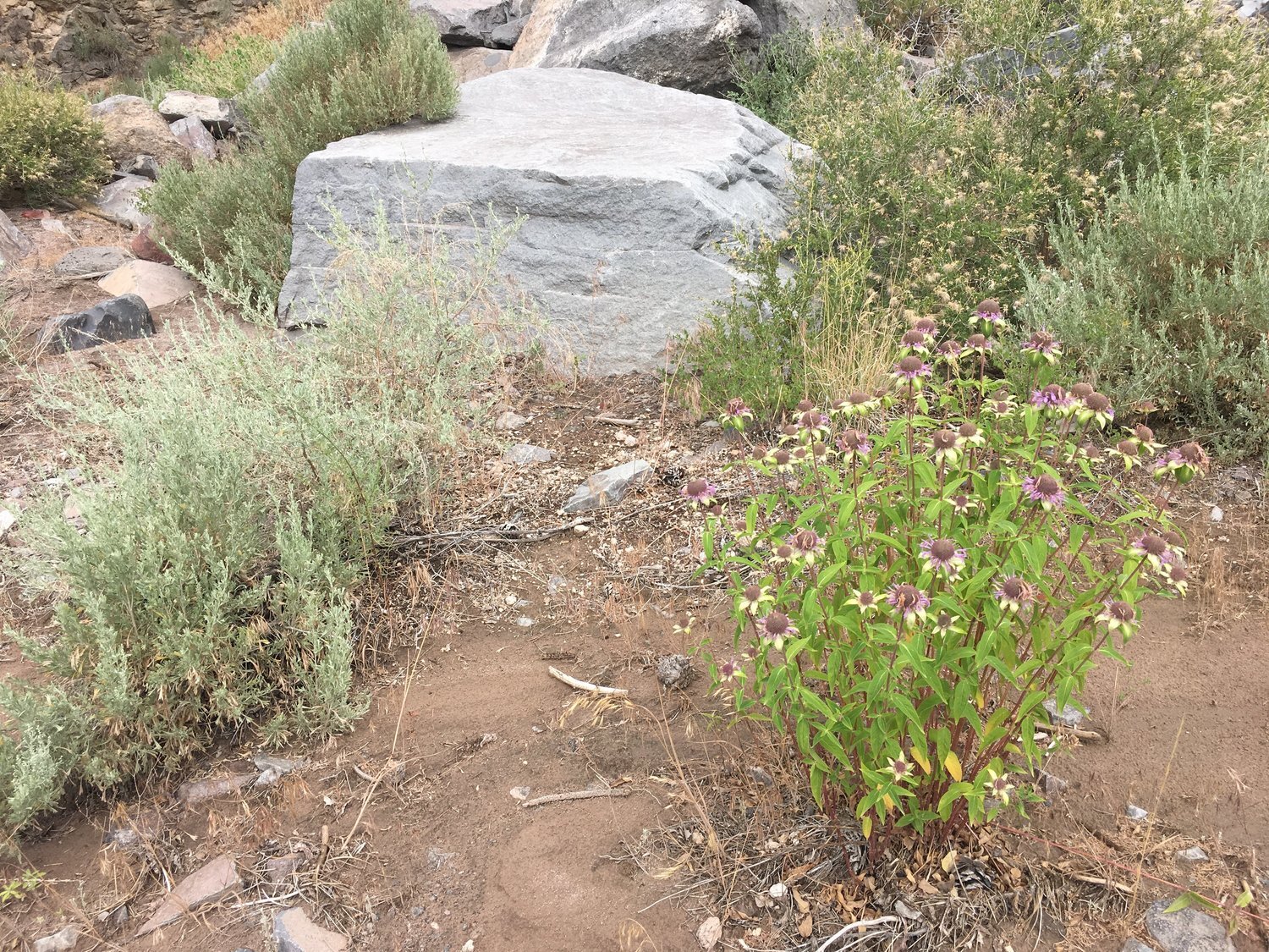
During this trip you will experience high canyon walls, waterfalls, and the painted cave with several dozen paintings. A lot of the history can only be observed by taking several side hikes, and walking slowly to take it all in. I found this to be one of the most pleasant places that I have paddled through in New Mexico.
The canyon paddle trip is roughly 20 miles and usually is done as an overnight trip. I was able to paddle through this amazing canyon in a day and still take a few of the side hikes.

Not all great things are marked on a river trip…
The River
Looking at this trip I would separate the 20 miles into two sections, the first section beginning at the Put-In, which is the Buckman Road Access (Buckman Crossing) and going until roughly the 10-mile mark. The second section would go from the 10-mile mark to the Take-Out in Cochiti Reservoir.
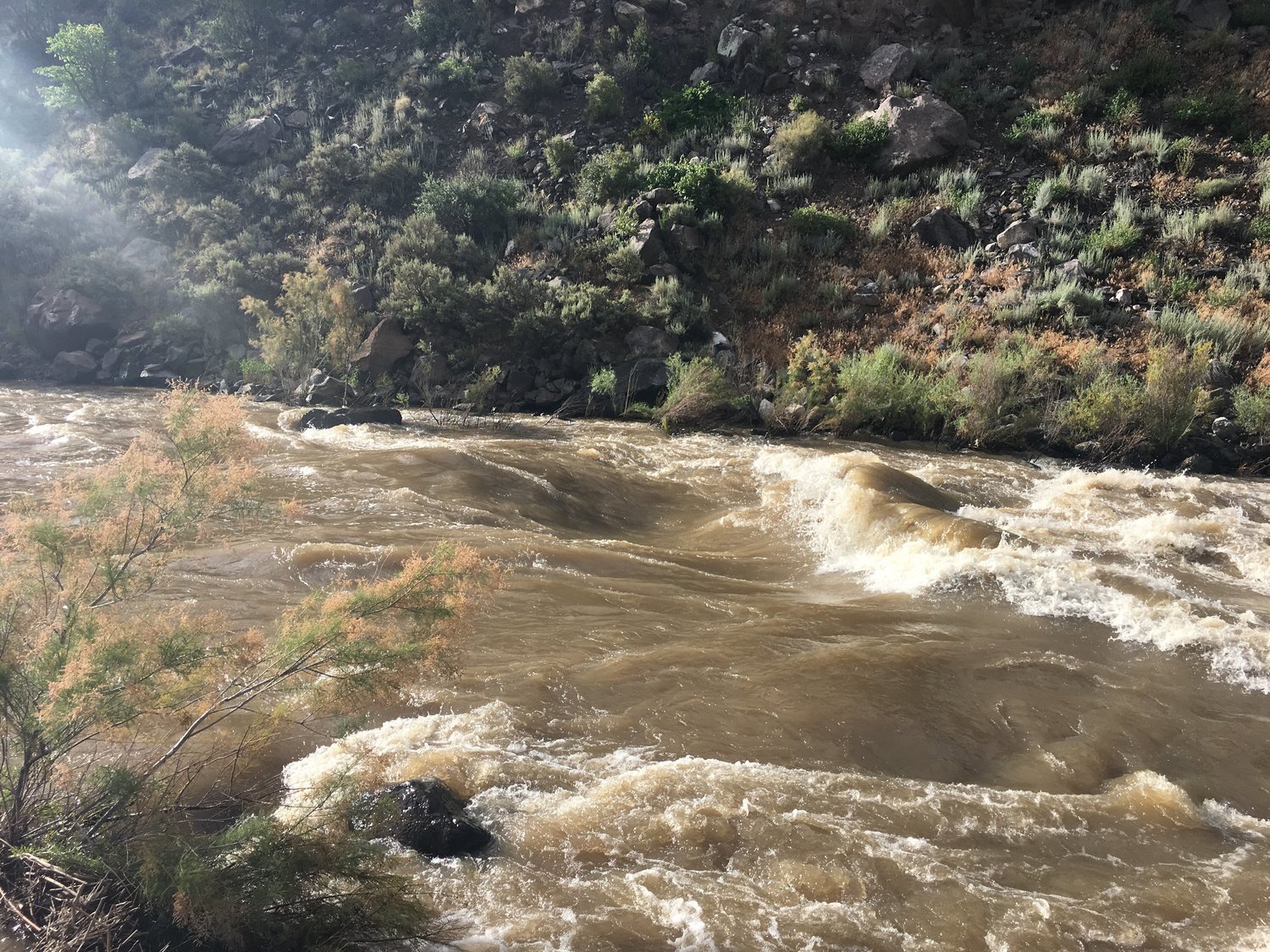
As you paddle through the first section of the river you can expect a fun down river paddle with several Class II rapids on the bends which eventually crescendo into two major rapids. These can be easily scouted from shore. The tell-tale sign that you are getting close is the high power lines. The first larger rapid is called Water Canyon Rapid and is rated Class II-III+, and is shortly before the power lines, but they are clearly visible.
The Second and much larger set of rapids is called Ancho and is rated Class III-IV. This can also be easily scouted from the shore on river right. At high water this is an impressive rapid to navigate. While I was on shore scouting, I could hear the rocks on the bottom of the river getting moved around and smacking other rocks, it was an impressive display of the powerful river.
As you leave this area behind the river begins to mellow and the canyon really takes hold of your senses, I paddled through this with an overcast sky which gave the canyon a rather soft feel. I looked hard at the walls and surrounding landscape it was beautiful.
As you paddle down past mile 8, you enter Bandelier National Monument this is a side of the monument that many of the daily visitors will never get to witness. Here the river begins to slow down and the sounds scape takes hold, Redwing Black birds and Warblers sang the song of their people and it was easy to get lost in the peacefulness of paddle cadence.
Paddling through the teens the river channels get braided and following the current is an artform. As your trip draws closer to the reservoir you will find a number of side lagoons that the local beaver have turned into their homesteads, they are extremely tempting to paddle through if you can find the right opening in the side brush.

Frijoles Canyon
Entering the Cochiti Reservoir
I hope that the wind is on your side and blowing downstream, if not, you are in for a treat, I choose to take out at the boat ramp on the west side, instead of Tetilla Peak Recreation Area which adds a fair amount of driving to the shuttle.
If you enjoy paddling in new and wild places this is a great local run for you to experience.
River Resources
The Rio Grande- A River Guide to the Geology and Landscapes of Northern New Mexico, By, Paul W. Bauer
Google Maps Satellite View is great way to see the river ahead of time
Shuttle Service: No Commercial Service
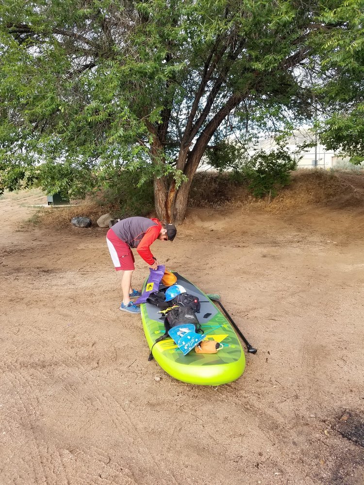
Put-In: Buckman Crossing
Take-Out: Cochiti Reservoir